Weekends usually put the crowd in Crowders Mountain, the state park closest to Charlotte (metro area population 1.7 million), but the trails tend to be clear on January mornings when red’s all but gone from the thermometer.
I started out under perfect skies with the Fahrenheit lurking in the low 20s (don’t laugh, Yanks, this is major cold for North Carolina). Reminded me of that old Nordic saying: there’s no bad weather, only bad clothing. Well, I had the right layers for this weather, so it was a fine hike (and a fine contrast to last week’s murk-fest.)
Crowders Mountain has two main trailheads: the Visitors Center near the middle of the park and the Linwood Access area in the northeast corner. Linwood is popular because it offers the most direct access to Crowders Mountain summit; the Visitors Center is closer to the park’s lake and campsites, so it attracts a mix of backpackers and families out on picnics (they, too, are rare this time of year).
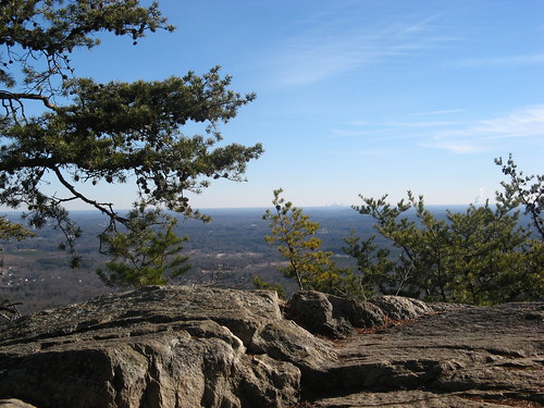
I set out from Linwood Access on the Tower Trail (so named for the obnoxious TV towers at the summit.) Best thing to do is take the first right turn at the Backside Trail, which starts out as a wide gravel road and narrows into a wood ladder climbing steeply toward the Overlook, which faces east toward Charlotte (the city skyline is faintly visible my first picture). Tower Trail is a wide gravel road all the way to the top and probably best avoided, though you could return on it if you were in a hurry to get your hike over with.
The best hike from Linwood is a loop of just under five miles, taking Backside Trail to the summit, then Rocktop Trail till it ends at a two-lane blacktop, then returning on the Crowders Trail. I didn’t drive 90 miles for a hike that short, so I took a jaunt over to the Visitors Center and the park lake, then returned via the Crowders Trail for a mildly strenuous 7.5-miler.
Let’s see the pix:
The Overlook on the Backside Trail offers impressive vistas, but don’t get any ideas about having the area to yourself. The climb up to here is a nice cardiovascular wake-up call; the rest is comparatively easy.
Another nice thing about winter outings: the skies can get much bluer, making those “poke-at-the-sky-and-hope” shots much more promising.
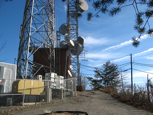
Posting this so you’ll have no illusions upon reaching the summit: Yes, it’s full of telecommunications gear but hey, it’s gotta go somewhere.
After the summit I hit the Rocktop Trail, so called because it’s one of the stoniest pathways this side of the Rocky Mountains. The geology is most impressive, even if you have no idea what wonders of science the formations represent (what I do know: it’s gazillion years old).
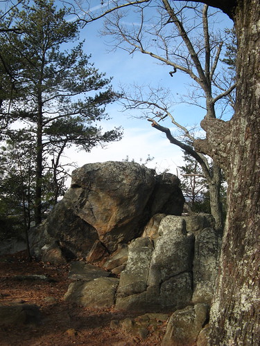
A few big boulders along the way.
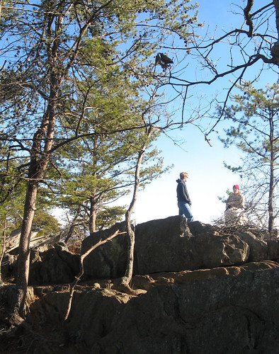
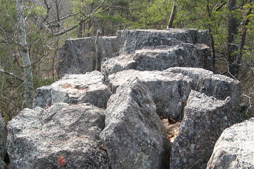
Rocktop Trail passes right over this bunch of rocks; don’t look down.
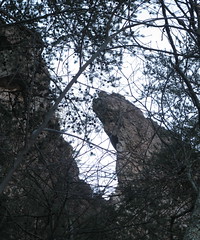
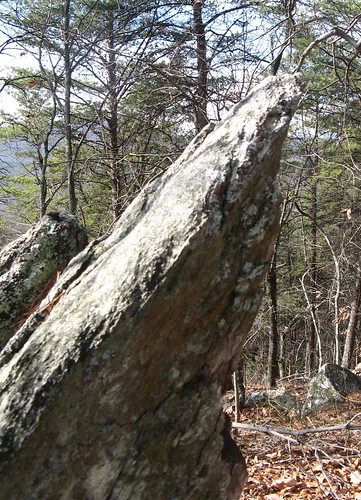
I can’t resist a good crag.
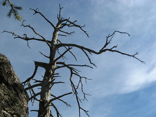
Or a dead-tree shot.
Rocktop Trail eventually dives pretty steeply and ends at a two-lane blacktop. It’s a fairly busy road so be extra alert if you decide to cross. Once you’re on the other side, it’s just under a mile to the Visitors Center, which has running water, full-service bathrooms and a Coke machine.
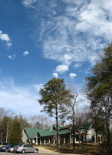
Best sky of the day appeared over the Visitors Center.
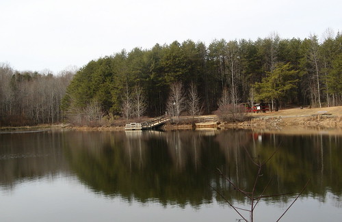
The park lake is placid and scenic. Canoes can be rented in the summertime.
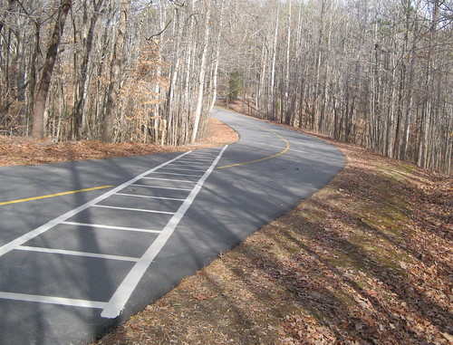
Interesting crosswalk along the Fern Trail, which connects the Visitors Center parking lot to the Lake Trail.
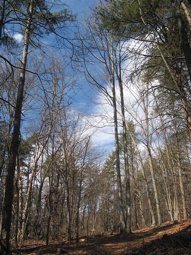
A scene along the Crowders Trail on my return hike. A sign says this 1.8-mile section of trail is “strenuous,” a rare overstatement for North Carolina parks. Around here, if the sign says “strenuous” it’s usually a butt-kicker. This one is uphill most of the way but the climb is gentle. Not a lot to see along this way, but it’s quiet and peaceful.
I guess that’s enough for this hike. Crowders Mountain is fair-to-middling for day-hiking, but the backpacking options are pretty good for a state park, thanks to a connecting trail to Kings Mountain State Park across the border in South Carolina. Only caveat being that with Charlotte so near by, lots of people will get the same idea about going there, especially on weekends.
Links for this hike:
- EveryTrail GPS track.
- North Carolina state parks page.
- Maps page.
- Friends of Crowders Mountain State Park
Google map
View 1-9-11 Crowder Mountain State Park in a larger map


Looks like a great hike — some of those boulders would make a nice problem for climbers.
For a relatively small location there are lots of cliffs at Crowders Mountain that look very climbable. I saw a couple guys planning to climb when I was just starting out.
Tom,
It looks like you have no reason whatsoever to miss broke and bankrupt California! Keep hittin’ (on) those beautiful trails in the Carolinas!
The King’s Pinnacle trail is also worthwhile if you scramble up on the rocks at the end. There are some nice vistas up there – as with the Crowder’s summit, you can sometimes see Charlotte on a clear day.
Whenever I look down at King’s Mountain from there, I always wonder “Why on earth didn’t Maj. Patrick Ferguson have a garrison up that fateful day in October, 1780? The Overmountain Men wouldn’t possibly have been able to surprise him at King’s Mountain.
There is a good bit of climbing done on Crowders Mountain…..they only place it’s allowed in the park. In addition to the Kings Pinnacle Visitors Center and the Linwood Access parking lot, there is also a new access area called the “Boulders” on down the ridgeline trail towards the two South Carolina parks (Kings Mountain State Park, SC..and the Kings Mountain National Military Park……where the battle was actually faught) that are now connected with Crowders Mountain State Park. There are generally very few people accessing the park from this access point…even on weekends. I hike somewhere in Crowders around 3 to 4 times a week.
Corky: You’re truly fortunate to have trails with real hills nearby … I live right across the road from a popular local park (Tanglewood, site of the annual NC Wine Festival), which is great for taking strolls but not much use for hill training.