These days you have to take the back door into Doughton Park, which is next door to Stone Mountain State Park on the east edge of the Blue Ridge Escarpment. I found that out the hard way when I tried to stop by the park’s Blue Ridge Parkway entrance but ended up taking a 30-mile detour that finally ended on a narrow two-lane blacktop where a couple of tiny gray signs point toward the backcountry entrance to the park.
It was one of those blue-skies-from-here-to-the-hereafter kind of days, so naturally I spent it walking up a tree-covered, vista-challenged trail in search of Caudill Cabin, last remnant of a community that once lived way up in these hills (till a flood wiped it out back in 1916). I never made it to the cabin, but I still got a fine (if frigid) hike in.
Doughton Park is pretty big at over 7,000 acres, and mostly undeveloped once you get beyond the amenities along the Parkway. It has 30 miles of trails, so there’s plenty of walking to be had. Most of the hikes are out-and-backs, unless you’re really ambitious: I saw no loops of less than 10 miles on the map. I like a loop as much as the next guy but I have no objections to out-and-backs; after all you never really know a trail till you’ve taken it both ways.
It’s just under five miles one way to the old Caudill Cabin site — starting out from the trailhead on Longbottom Road (just over 6 miles east of State Highway 18). The first stretch is a wide and easy 1.6 miles along the Grassy Gap Fire Road. After that it’s 3.3 ragged miles in a rocky gorge along the Basin Creek Trail. After about 4 miles I found myself out of trail, trying to insinuate myself up an impossible section of Basin Creek. Whaddya know, missed my turn for what, the 9,413th time this year?
Well, I’d rather be a four-limbed nobody than a famous amputee, so I tend to listen when the trail’s telling me to turn back. Got in a fine eight miles; I’m guessing if that cabin survived the Great Flood, it’ll be there the next time.
Let’s see the pictures:
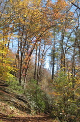
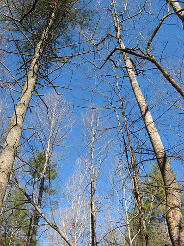
Some of that excellent blue sky. I figured heck, I know what the Blue Ridge Mountains look like around here and besides, I hadn’t been on an nice creek hike in quite a while. Turns out the Basin Creek Trail is one one of the best creek hikes I’ve done in North Carolina — lots of crossings to keep you occupied (though bear in mind the crossings may be deep in spring and early summer), very few hikers, pretty good trail most of the way.
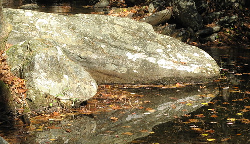
Some rock-and-reflection action along the way.
I got off track not far from this old fireplace. I zigged when I should’ve zagged, heading up into rougher and jaggier terrain while climbing the creekbed. The further I wandered up this way, the crazier it seemed. Finally I was clambering over a fallen tree stump when the old branch I grabbed broke off in my hand and it dawned on me: if anybody’d ever come this way before, they’d have broken off that branch off.
So back I went.
This would be a great place to play around with a camera on cloudy day – this was about the best I could do with the splashing water with so much sunlight.
I’m not sure this is an especially good photograph; I just liked the visual effect.
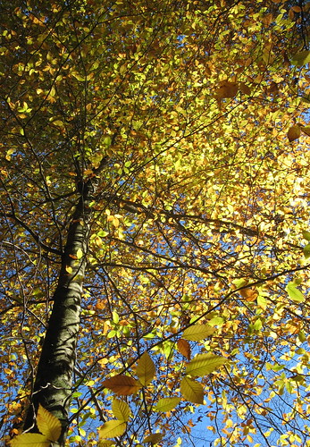
This could well be my last “point the camera at the trees and see if any color shows up” shot of the year.
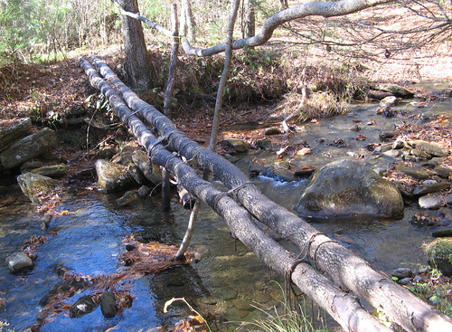
Here’s a nice footbridge over the first crossing of the Basin Creek. Supposedly there are 16 crossings by the time you reach the Caudill Cabin.
Doughton seems like it’ll be worth a return trip, though I suspect I’ve hiked its best trail (well, most of it).
Links for this hike:
- EveryTrail GPS tracks
- Intro to Doughton Park at BlueRidgeParkway.org
- Hiker to Hiker on Basin Creek Trail.
Google map:
View 11-7-10 Doughton Park in a larger map



The Mountains-To-Sea Trail runs through Doughton Park so there are opportunities for great out-and-back hikes. A fine one is starting from Alligator Back Overlook on the Blue Ridge Parkway (when it reopens) and hiking up and over Bluff Mountain with open vistas and on to the Doughton Park Bluffs coffee shop. Round trip is about 4 miles. If you want to keep going, follow the white blazes to the Brinegar Cabin for an out-and-back of about 10 miles. And of course, you can follow the MST all the way to the Outer Banks too!
Tom,
Looks like a cool place to hike and explore a wonderful little ol’ country crick. Nice photos – the one you said you didn’t know if it was any good – trust me, it is very good!
I’ll have to try this one out next time I make it to that part of NC. Creek hikes are especially good because they have very good scenery every step of the way. I really like the photo of the rock reflection.
Basin Creek is a very good trail.
If you want something a little more strenuous with a good payoff, there’s also the Bluff Ridge Primitive trail.
At the primitive campground (where you go right to follow Basin Creek), a slight left and uphill begins Bluff Ridge. 2.8 miles, pretty steep, following the ridgeline of Alligator Back. At the end, you reach a shelter that looks out over the BRP to the northwest and the bowl of an enormous valley to the west.
Last year the hubby and I drove to Doughton and planned to hike down to the Caudill Cabin, but after parking our car, we realized we had a gas leak and had to skee-daddle. Since we never got to do the hike, I enjoyed reading your entry and discovering what we missed; hopefully we can head back out there this spring!
Cheers,
Lori Beth
This is one of my favorite hikes and if you haven’t returned to hike to the cabin, you really should. I do this hike every year in early & late April for the wildflowers and the fun of splashing across 16 creeks. You need wading shoes, but the trails is easy enough that you can leave them on after the first required wade. On the 1.1 walk-in on the fire-road, the road is lined with dwarf and crested iris, violets of all colors, asters, Spring Beauty, Star Chickweed and fire pinks. Later there are clumps of showy orchis, trillium and towards the cabin, columbine. In early April there is Bloodroot and emerging Mayapple which I called the penis-plant when first encountered in its umbrella early shoot form and before returning to find them grown and flowering and identifiable (no wonder they also call it Mandrake).
Though long, the trail only has a few steep spots–I’d rate it overall Moderate and varied and entertaining enough to keep you going even when hot and sweaty and tired. There are waterfalls, slicks and several swimming holes, one a jacuzzi pool that makes me promise to return in hot weather. There are 6 or 7 stack chimney ruins; one a double. Once I startled a young bear fishing in the stream in the hole just before the first chimney.
The cabin emerges from the woods after the 3rd steep stretch. It’s at the head of the cove with steep sided mountains on 3 sides, surrounded by a meadow with wildflowers. So lovely you can imagine why someone would want to live there. Grab the genealogy book found in the cabin and settle beneath the ancient dogwoood tree to read the Caudil story–3 wives, 22 children and the story of Lenny & Alice and the flood. On your return, visit Alice’s grave and leave a stone or Tulip Poplar petal. Married at 14, swept away in the flood while Lenny was away looking for paying work, it gives a haunting personal touch to the tragedy of the Basin Creek Community and Flood. The grave is at the TH, a bit to the right as you return and just off the Bluff Ridge trail.