Spent about as much time driving to Briones as I did hiking yesterday; didn’t get out of the house till after lunchtime so I figured I’d go to the most accessible trailhead and see what turned up.
Conclusion: The trailhead on Pleasant Hill Road in the park’s southeast corner (just north of Highway 24 and a few miles west of I680) is a) easy to find; b) free to park in; c) close to civilization; d) miles from the park’s interior; perhaps the least interesting to hardcore hikers.
Of course this merely reflects the Bay Area’s embarrassment of hiking riches. There’s a hike along Lafayette Ridge from this trailhead that’s scenic, not too terribly steep and bursting with blooms every spring.
Here’s a Google map of the area:
Zoom out and you’ll see the lion’s share of the 8,000-plus acres at Briones is north and west of here.
One interesting tidbit I discovered: The Las Trampas to Briones Regional Trail connects near here, and the coast-to-coast American Discovery Trail goes right through Briones, starting at Lafayette Ridge on the east.
From Walnut Creek the ADT follows a series of trails which begin along the Contra Costa Canal, ascend to Lafayette Ridge, descend from the ridge into Homestead Valley, skirt the shorelines of the Briones and San Pablo Reservoirs and ascend to Inspiration Point. From Inspiration Point the ADT follows trails in the east bay hills through Tilden Regional Park and descends down Strawberry Canyon to the University of California campus in Berkeley and then on through the city streets of Berkeley and Oakland to Jack London Square on the waterfront. Here a ferry is boarded for a ride across San Francisco Bay to the Ferry Building on the Embarcadero in San Francisco. The ADT follows the Embarcadero, other bayside streets, the Golden Gate Promenade, and a pedestrian trail to reach the south end of the Golden Gate Bridge while passing through Fisherman’s Wharf, Fort Mason, and the Presidio (a former elite U. S. Army base.)
No point belaboring a three-mile hike; let’s see some pictures:
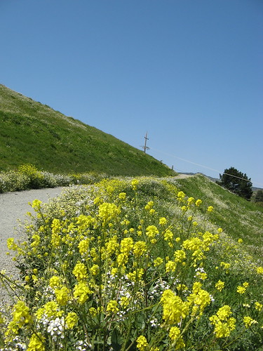
Some flowering weeds near the trail head.
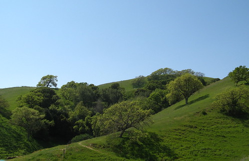
Green hills on the way up to Lafayette Ridge. Have to admit this scenery would charm the pants off a flatlander.
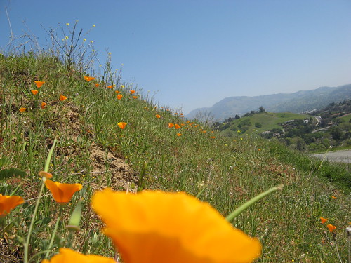
Advantage to afternoon hiking: The poppies are out in force. That’s Mount Diablo in the background.
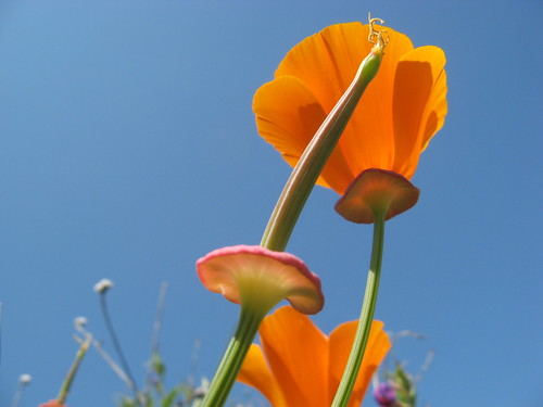
My favorite of the day.
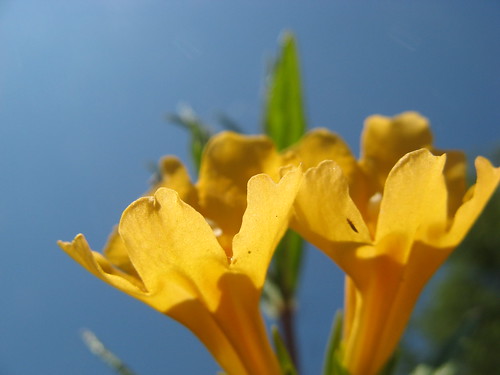
Some monkey flowers along a stretch of the Las Trampas-to-Briones Trail. This is a nice little detour — shady most of the way and very little-traveled — but it ends at a street and you have to turn back. Still, it was my favorite part of yesterday’s hike.
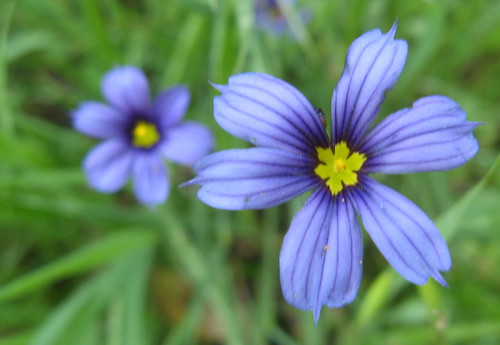
Good ol’ Blue-Eyed Grass.
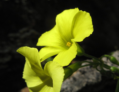
These Bermuda buttercups are non-native, which means we are supposed to despise them, but they don’t seem to be causing much trouble.
My Everytrail page on this hike has the GPS plot, if you’re interested.
A bunch more Briones links are at this preview post I did last week.
I’m thinking I may explore more of Briones next weekend. It’s a damn shame there’s no backpacking allowed here; it’d take a few days to see all the trails.

i hope someone will check out Sunol’s wildflower festival sat 4/11/09.
I went to Vasco Caves, Livermore. My review is on Yelp:
http://www.yelp.com/biz/vasco-caves-regional-preserve-brentwood#hrid:d3APKbywo5jzS2uCdwHdOw/src:self
Gorgeous pictures Tom. I love to read your hiking posts because:
1) you make me feel I’m right there with you on the hike.
2) you take great photos.
Hey Tom,
Although I can’t say firsthand there are group camps within Briones that you can reserve, it requires a minimum of a week in advance reservation 🙁 This year the wildflowers were really lacking around mott peak but on a good year that entire hillside is exploding with blooms. I noticed those connectors as well; Briones to tilden, briones to Las Trampas, briones to mt diablo….got me interested in the Diablo trail ( a 2 night 3 day backpacking trip beginning in the diablo foothills ending at roundvalley) I might be able to squueeze it in this spring if Im lucky =)
hi tom-
i promised my 4 yr old daughter a wild flower hike tomorrow. i’ve been in nyc all week and am trying to clear the cob webs and find a hike. i used to be an avid hiker but that was before marriage/kids/winery and mostly in marin so i’m not that familiar with the east bay trails and certainly not those that are 4 year old friendly.
i wonder if you might recommend one. hike = a long walk. we might cover 2 miles so having wildflowers bloom near the trail head is key. we are in montclair and willing to travel up to 30-45 minutes. i’d appreciate any tips.
thanks!
tracey
Tracey:
This Briones hike would be ideal for a 4-year-old … there are wildflowers close to the trail… lots of poppies and others. It’s right off Pleasant Hill Road, right off Highway 24… nice big parking lot, free.
Don’t worry about following the route I took… just grab a trail map and walk uphill … there’s a nice loop on the Lafayette Ridge Trail with plenty of wildflowers … not a massive amount but this is good because it’s a better “find the wildflowers” game for your youngun.
From Montclair you just find Highway 24 and head east to the Pleasant Hill Road exit, then turn north. When you’re heading east on 24, Briones is in the big hilly area to the left of the highway on the far side of the Caldecott Tunnell.