The idea was to see what the wildflowers were like at Sunol Wilderness. I saw a few but it might be a little early for the bloom there. What Sunol has lots of now is water: Alameda Creek is roaring down through the narrows they call Little Yosemite (well, it is little, so they got that half right).
There’s also a nice flow down through the W. Tree Rock Scramble, which I tried out for the first time Monday. Great place to introduce your hands and fanny to hard surfaces and learn to trust your footing. I’m comically cautious, especially when hiking solo, so I spent about twice as long I needed to on the scramble, which, by the way, gets old after about an hour. I will say it’s a far more interesting means of uphill travel… you’re so busy climbing up over stuff that you hardly notice the elevation gain.
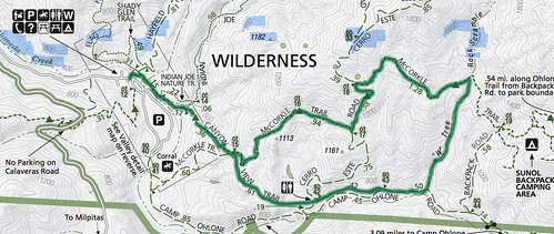
Here’s a version of this hike you might try. It looks like about 7 miles but the scrambling portion will make it seem like a lot more.
I’d recommend starting out on the Canyon View Trail and heading toward Little Yosemite. When you get to Ohlone Road, hang a left and stay on it till you see the W. Tree. Hang a left and start scrambling. It’s all uphill for over a mile, clambering, sprawling and dodging annoying profusions of poison oak. Hey, it’s more fun than it sounds. Note: I would not recommend this for rookie hikers or anybody who has balance issues, stamina issues, or simply hates getting feet wet.
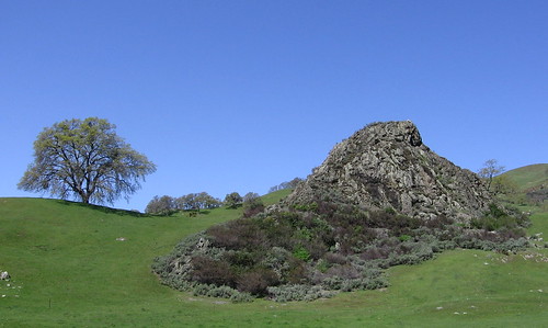
If you’re strength holds you can hike all the way to McCorkle Trail and hang a left, then head back toward the park HQ. I made about half this distance and bailed out — there’s a use trail on the right where you can see an enormous rocky hilltop. Hike toward it and then go down the other side till you reach the old backpackers’ camp road.
OK, let’s see some pix from Monday’s hike.
Another of those days where the sky’s an impossible shade of blue. Not a cloud to be seen, which obliged me to aim my camera elsewhere.
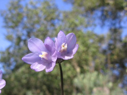
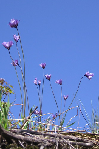
Blue dicks were the most common blooms I saw. I’m guessing things’ll be prettier in a few weeks.
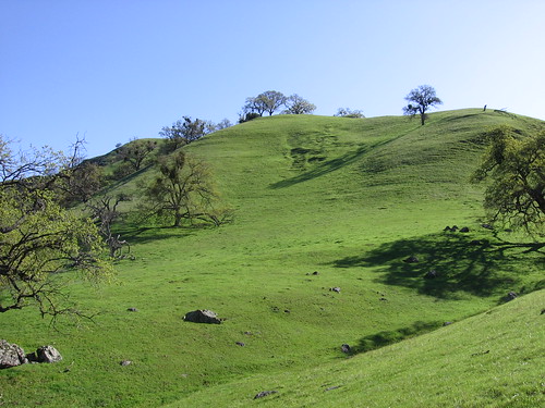
Just think, it’ll get even greener as the days get longer and warmer.
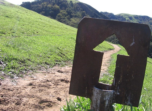
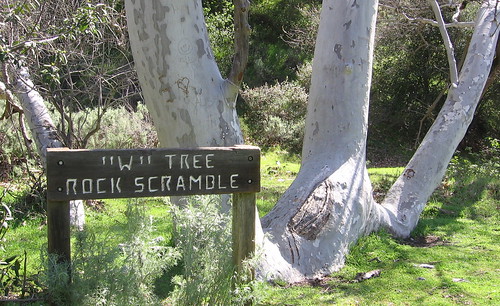
I love these old trail signs at Sunol.
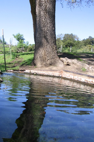
This water trough always offers photographic possibilities.
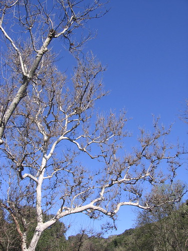
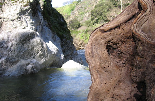
Nifty tree trunk at Little Yosemite.
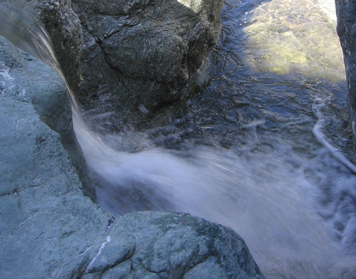
Nice water blur action.
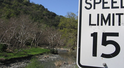
There is some car traffic on this old road, but the speed limit signs still seem out of place.
Here’s the famous W. Tree, where the rock scramble begins. My pictures didn’t capture a sense of what it was like in any degree: in bright sun the rocks get washed out; it’s very tricky trying to photograph it with cheap a camera and no fancy filters.
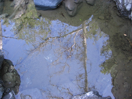
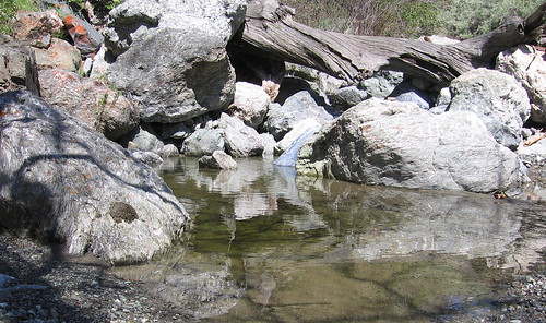
You can get a few nice pictures of reflections on standing water, though.
It is pretty the whole way, almost enough to make you forget the grueling slog part.
More of them blue dicks.
I bailed on the scramble and climbed up to the edge of the ridge visible over to the left beyond that oak tree, then came down here and had some lunch, then headed back on the Camp Ohlone Road for an easy, flat walk back to the park HQ. Note this isn’t the route on my map above.
Sunol Wilderness links:
- Everytrail GPS plot of Monday’s hike.
- My Sunol park profile from the Mercury News.
- Previous Sunol hikes
- Video of a Sunol hike I did last year.
- Slide show of my Sunol pix at Flickr.
- East Bay Regional Parks page.
- Bay Area Hiker’s Sunol page.
- Gambolin’ Man’s Sunol hike.
Google map of the Sunol trailhead.

It’s a fine time of year to check Sunol – that rock scramble gets a bit dicey once the snakes wake up. Typically, my favorite loop is Camp Ohlone Rd past the W tree, left on the Ohlone Trail at the top of the hill, lunch at the BP camp then an especially nice return on McCorkle. Variants will take you all over the place.
Nice to see water in the feedr beneath the W tree – that won’t last long, but it’s pretty when it’s alive. Thanks for the wildflower report – I suspect prime time will be in a couple of weeks.
Great shots of our favorite place in the Diablo Range! Gotta love that scramble, too! It wears you out, that’s for sure! Tom, you’re probably in better shape than you guessed, huh!
The “W” Tree Rock Scramble? Careful Mangan… that’s dangerously close
to bushwhacking!
BTW, you should be sentenced to accessing your blog via dial-up for a month
or two. I’ve got one word for you — thumbnails!
On reflection some more about the “W” Tree Rock Scramble…
I’ve gone up this route more than half a dozen times, and it’s
clear you didn’t make it all the way or else you wouldn’t
be so blithe about recommending it. The going isn’t as easy
further up the draw as there are a couple of potential
obstacles. The drainage also gets deeper and steeper, making
the climb to bail out more difficult. Hikers of marginal
ability and the unprepared may find themselves retreating
from whence they came. This is a hike where I’m glad to
wear my full-on boots with the vibram soles. They provide
a stable platform no matter where I put my foot down.
It’s slightly easier to do this in later in the year, when
the stream is low or non-existent. I also found the going
easy one spring a couple of weeks after some particularly
heavy rains, when runoff had scoured the gully clean of
debris. But we haven’t seen that kind of rain in several
years.
This can be a rewarding trip if you’re up for it. As the
name suggests, be ready for a serious rock scramble all
the way to the McCorkle Trail.
I checked my GPS tracks, which showed I spent and hour and fifteen minutes to go a half-mile.
At first it was fun and interesting and challenging but after an hour or it was just turning into a grind.