I’ve moved Uvas Canyon County Park to the top of my list of parks to check out after four weekends of rain. Lots of other hikers will get the same idea if you go on a Saturday or Sunday, but the place is so unabashedly wonderful when the water’s gushing that you can deal with a few fellow waterfall-gawkers.
My hike was fairly mild: 5.3 miles with just under 1,500 feet of elevation gain (terrain profile and GPS log at Everytrail.com). I spent a lot of time dawdling with my Gorillapod and fiddling with the camera’s shutter speeds to get that prized waterfall-blur effect. Let’s check out the pictures:
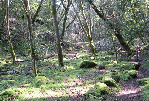
This is the little-used Swanson Creek Trall, an out-and-back to a little-known waterfall near the confluence of the Uvas and Swanson creeks Very nice and barely a quarter-mile from the parking lot.
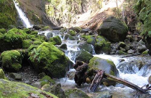
The unidentified fall is up in the background.
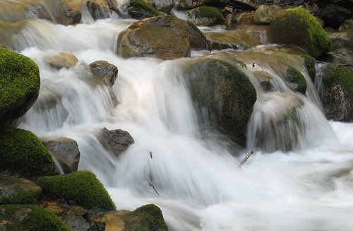
Close-up of the water flow at the same point.
Crossing the creek is out of the question when the water’s flowing strong, so you’re obliged to turn back. I took a side trail and climbed down between some rocks to grab this image of the Swanson Creek.
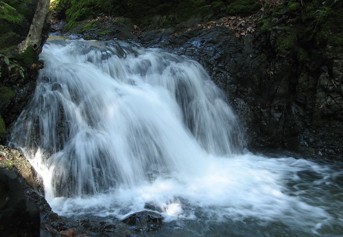
Granuja Falls is the first attraction on the “Waterfall Loop.” It’s small but things get better.
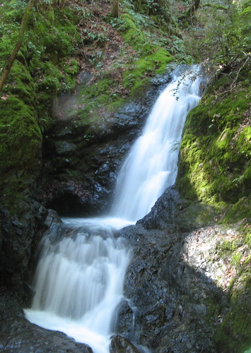
Black Rock Falls is one of the main attractions when the flow’s strong. I generally fall on my fanny when getting too close to the water.
Upper Falls is quite nice, too.
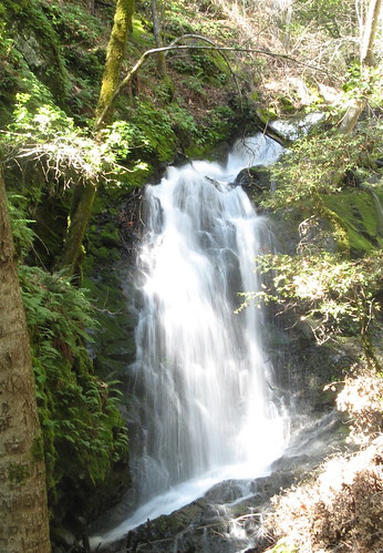
Basin Falls was the prettiest of the bunch yesterday.
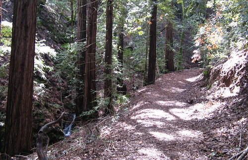
The trek to Triple Falls sometimes seems hardly worth the effort, though the trail along this way bears a remarkable resemblance to a redwood forest (remarkable because there are no actual redwoods, and this is primarily South Bay oak-and-madrone country ). It feels damp and primordial like so many of the trails closer to the coast.
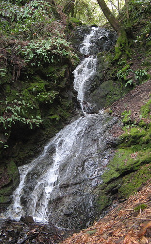
Triple Falls, as expected, rates lower on the spectacle meter but the sound of water pouring down the canyon is all you hear. It’ll do.
I started getting back into a workout routine last week that included a bunch of laps on the stairs of our apartment building. Really paid off when I was hitting some of the hills yesterday. I’m still far enough out of shape that five mild miles at Uvas feels like a workout, but it sure felt great to be walking on dirt again.
Uvas links
- My Uvas Canyon park profile
- My previous Uvas hikes.
- Terrain map and GPS track at Everytrail.com
- Bay Area Hiker’s Uvas Canyon page.
Google map for driving directions:



Tom,
Mighty fine shots of lovely water flowing over rocks – porno for Gambolin’ Man! I can’t believe I STILL have NEVER been to Uvas! One of these days, one of these days!