I saw the little black angus calf wandering about, baying for its mom, about 100 yards down the trail. I wondered where mom was because the only time a cow will trouble itself to stop grazing is if you block her view of her baby. Not seeing baby can cause cows to identify the nearest hiker in the vicinity, assign blame, then charge. If you were as dumb as the droppings you leave all over the trails, you’d do the same.
So I wander past the baby and sure enough, just down the trail is Mom. And a friend. A large black head with big bulbous eyes arises from just beyond her tail region and gives the universal “Dude, would you mind?” look known to all guys who stumble into another guy’s amorous action.
So, this is why Mom isn’t milking the brat. Some bull has his nose so far up her fanny she’s getting, well, distracted. The loving couple decided to make their way down the trail in the general direction of the wayward calf. I didn’t wait around for any Discovery Channel moments.
Just another day in the East Bay hills. If the cattle are humping, I’m happy, because it means they aren’t a) pooping everywhere, b) chewing up the hillsides; or c) leaving mud bogs in moist sections of trails.
So what was I doing at Ed Levin County Park, which I once declared one of the worst hiking parks in the Bay Area? Well, I had a vacation day and wanted to try out my new daypack, but didn’t want to drive far. Bovine annoyances notwithstanding, Ed Levin has two things hikers crave: high hills and great vistas.
It also has a mystery — rock walls of unknown vintage — among its hilltops fascinating enough to make the bulls and the butt-burning Jeep roads posing as trails worth the trouble. I paid the walls another visit; I’ll get to that part in a minute.
The hilltops were fogged in for the first hour and a half, but after that the the skies opened and a lovely hiking day ensued. I hiked about five and a half hours; I’m guessing total mileage was about 9 or so.
The only go-to hiking locale at Ed Levin is Monument Peak — 2,000 feet of climb in four miles; not quite as steep as Mission Peak, but promising the added pleasure of an extra mile and a half of climbing. It’s a great a workout. Foggy mornings with clear afternoons in the forecast are among the best times to go, because you’re cool on the way up and warm on the way down, and you experience being on the hill when the fog burns off. Little bit of nature’s wonder in action.
Let’s see some pictures. Here’s a Flickr slide show if you’d rather skip the commentary:
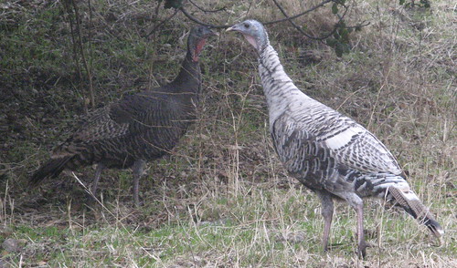
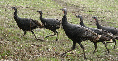
The only thing as dumb as a cow and yet curiously smart enough to stay alive is a wild turkey. They’ll walk right past if you stand still enough.
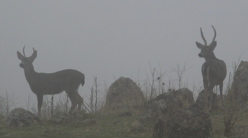
Young bucks about 50 yards distant in the fog.
Calera Creek is about two miles from the trailhead next to the dog park at Ed Levin. It’s fed by a spring that runs all year, which is good to know if you’re foolish enough to hike here in the summer.
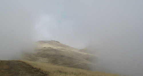
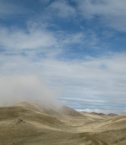
An opening in the fog emerges as I near Monument Peak.
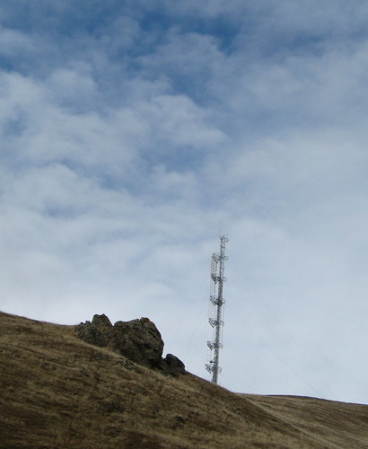
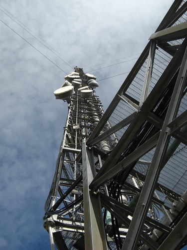
One of the transmission towers.
You can always find cool angles to photograph the tower.
I paused for lunch near the section of the Bay Area Ridge Trail that goes over to Mission Peak. It’s about two miles from here. An out-and-back to Mission Peak from Ed Levin is a tough 12-miler.
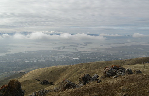
Unbeatable view from the Monument Peak summit.
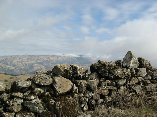
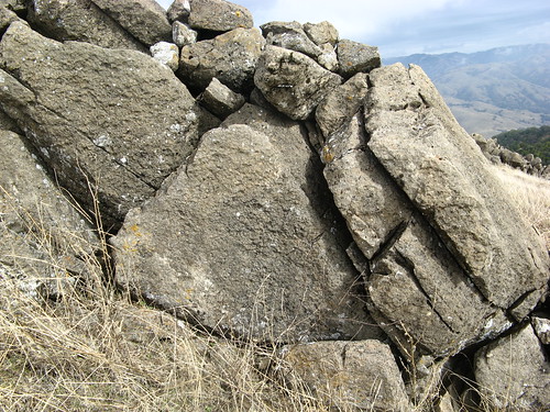
One of the mysterious stone walls near the Monument Peak. Some say these walls were built by Amish farmers in the late 1800s. I find that hard to believe — these seem to be built much more deliberately and systematically than I’d expect farmers to bother with.
And check out these huge boulders: I cannot imagine a farmer moving rocks this large.
Note the consistent height of this section. The stones are generally flat, for easy stacking; they don’t appear to have been piled up from random stones you might find lying in a field. The structure seems architectural, and in places it melds with existing rock formations.
Stone walls like this appeared in the journals of the first European explorers to arrive in the Bay Area. Obviously the walls were not tall enough to keep out any invaders, so they must have been symbolic — perhaps geographical (borders between rival bands) or mystical (burial grounds or religious shrines). I wonder what a core sample would reveal about their age. I can’t help suspecting they’re very old, like Stonehenge or Central American pyramids old. One hole in this theory: why didn’t earthquakes knock them all down?
OK, enough amateur anthropology. A few more pictures and I’ll call it a day.
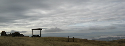
This lone picnic table is one of my favorite places at Ed Levin. It’s along the Sierra Trail, about a half mile from Monument Peak summit.
Saw a few more turkeys on the way back down.
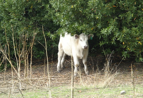
And this little calf in full cuteness mode.
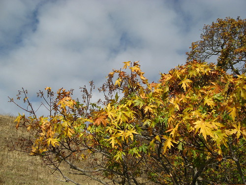
A few fall colors endure.
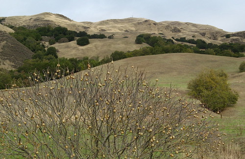
Looking back toward the peaks. So that about does it. I always come home from Ed Levin with a fresh slew of complaints, but I always end up with pretty good pictures and stories to relate. I’ve met a host of interesting folks on the trails at Ed Levin. Maybe the park’s inherent issues keep the wannabes away, leaving only the True Hikers. I’m sticking with that theory till next time.
Oh, and about the new daypack: works great. It has a hole for a hydration hose that I didn’t notice the first time I was going over it. Lengthening the straps enough to let the bottom edge rest against the hips makes water bottles accessible with only minor arm gyrations.
Ed Levin links:
- My previous hikes.
- Santa Clara County Parks page.
- Yelp’s page.
- Adam Paul’s hike.
- Flickr slide show of Ed Levin images.
Google map to get you there.



Cool write-up, Tom, and wonderful pictures! I’ve yet to hike Ed Levin! I think it probably might remind me of parts of Sunol?
As far as the walls go, coring the rock isn’t going to tell you anything about the age of the wall, since the rocks have been around much longer than the wall. The best bet would be to find a some wood remains under the wall and carbon date it.
I can’t imagine that this hasn’t been done yet.
g.m.: It’s kinda like Sunol though most of the hiking faces the bay side so civilization is ever-present, whereas at Sunol it’s always on the other side of the hill.
t.c: I wasn’t thinking of the age of the stones themselves so much as the interior of the wall… there must be something inside there that dates it; maybe some wood as you say.
Can you believe it? I haven’t been hiking since September and after reading this, I’m just itching to get out there! Great write up and pictures Tom!
I spent much of my childhood near Anderson, California around cattle, both on our property and in the surrounding pastures and hills. It was great training for watching your step.
I only got chased once. I was hiking in the Bald Hills west of Redding at twilight. Something spooked a large herd of cattle and they all thundered toward me and my companions. We sprinted to nearby oak trees and climbed up, just before the cattle ran through the grove.
I’m sitting here at my desk flippin’ an 8 sided coin in my head – where to go this weekend?
I think you just sold me, Tom. Hey, we’ve got turkeys in our parking lot here in Walnut Creek! Their appeal never fades for me…
RE: The Walls… There are rock walls similar to those all over New England. I’ve heard estimates that there was once nearly 300,000 miles of stone wall in NE and New York.
As to the condition of the walls, some were constructed considerably better than the wall you saw, some more haphazardly. I can’t speak to your farmers out west, but farmers here definitely would and did move boulders that large to construct beautiful walls.
In New England, the rocks were left by receding glaciers, and the freeze and thaw cycles of the year slowly push them out of the ground, so every year farmers would have more rocks to clear out of the field. They would just build boundary walls to use them up and get them out of the way.
Great pictures. Are you using a point and shoot, or a dlsr? I know, you probably told us some columns back, but my memory isn’t what it once was.
2nd question. Do you have some secret for drawing those routes on the Google My Maps? I’ve done them myself with their line tool, but it is a tedious manual operation. Your lines look like you have a lot better motor control than I do.
Ralph: Camera is a point-and-shoot. Thanks for the kind words … Ed Levin is oddly photogenic — the camera catches a kind of imagery the mind misses when you’re busy dodging the hoofed beasts.
The Google map used the line tool. I usually don’t bother with it because most trails are under tree cover but since I know all the paths at Levin by heart and it’s 95 percent open, I made an exception this time. Google saw fit to leave off the last leg of my hike… guess I can’t complain at these prices.
Tim: these walls are at the top of 2,500-foot high hills in a semi-arid, heavily wind-blown environment sees rain only about three or four month of the year. The hills have a few all-year springs but not enough water to sustain irrigation for agriculture.
I could rationalize the walls closer to sea level but they don’t make much sense on these ridge tops.
Robert Frost wrote that ” Good fences make good neighbors”
My first thought on the stone fences is Farmers moving stones from their fields. I am amazed by how well the stone fences have held up over the years. On the Appalachian Trail you will see stone fences On ridges with poor soil and think they could not have been successful farmers but it takes years to build up some of them.
Remember that until WW1 we were a nation of farmers. 90% of our GDP was from farming. People were farming everywhere. That is why the large predators are gone. You can not have wolves and lions and grizzly bears around your homestead.
I think it was optimistic farmers who were hoping for good rain. The national weather service is relatively new.
Those were some lovely pictures. Deer normally irritate or bore me silly, but I love the picture of the two bucks in the fog. I do, however, think wild turkeys are super-cool. Go figure.
While on the trail at Tomales Point, my friends and I were talking about our next hike: Monument Peak. Looks like you just confirmed it! Great shots and write up.
Your most recent post made me think about those walls again… Could it have been old ranchers that built the walls? Obviously, the area is used for grazing now, seeing as you met some of the grazers themselves, and the lack of rain wouldn’t be as much of a problem for ranchers.
I wouldn’t discount the theory of farmers or ranchers just because it seems like alot of work for what might be minimal gain, humankind has done considerably more pointless things. I suspect that if they were older than the European Americans, there would be so much more interest and archeological studies of them, you know?
The local Indians say the walls were there when they arrived, so they are very, very old. They have no practical purpose so the idea that they were built by settlers is absurd, especially since they run from Berkeley down to San Jose. New England has many stone walls built by settlers, but they also have walls like these, in the middle of nowhere, with twists and turns like a serpent, effigy rocks, cairns and stone chambers, usually close to a stream or spring or river, reminiscent of megalithic Europe.