I couldn’t tell what the four guys in the big red fire truck from the California Department of Forestry were up to. Didn’t smell smoke, though, so I figured it must’ve been a Sunday training hike.
About six steps into Sunday’s hike, it felt hot enough for a good brushfire. Stayed that way for the next four hours, though the occasional breeze from the coast found me. No actual fires happened; I’m guessing the buff firefighter types were a bit disappointed.
This one was just something I wanted to try: string together a loop from a bunch of the trails along Skyline Boulevard around Skyline Ridge Open Space Preserve. I’ve done so much hiking in shady redwood forests of late that I’d almost forgotten how warm a sunny July afternoon can get in these parts.
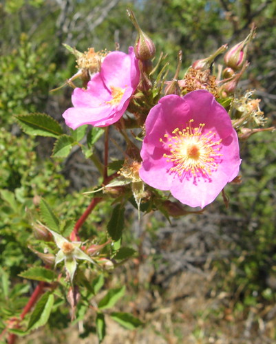
I’d also forgotten how seemingly unremarkable trails can be full of little surprises. Almost from the beginning I was seeing these little purple wildflowers in fresh bloom. And noticing how the yellowed hillsides take on a certain golden glow when the sun hits just right. The sun burns this glow to a dirty brown by September, but a bit of the magic survives well into July.
The route was like this: start out at the Skyline Ridge Open Space Preserve, wander over to Horseshoe Lake, then head north up a hill and back down one to Alpine Pond, then head over to Russian Ridge Open Space Preserve past Borel Hill to the Skyline Boulevard scenic overlook, then walk down the highway for about 50 yards to an old gravel road at the entrance to Coal Creek Open Space Preserve, then head south toward Monte Bello Open Space Preserve, and return to Skyline Ridge from there. Four hours of walking, maybe eight miles; didn’t really keep count.
Let’s look at some pictures:
Horseshoe Lake is a pretty little body of water less than a half-mile from the trailhead. It’s wheel-chair accessible, though far too easy for the likes of 4WheelBob. Lots of ducks splashing around.
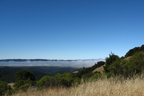
A layer of fog hangs over the hills in the distance — Portola Redwoods is down that way; hikers were appreciating the cool, no doubt. I was just sweating it out. But there are far worse places to work up a sweat.
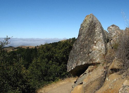
A few interesting rocks along the Bay Area Ridge Trail segment running through Skyline Ridge.
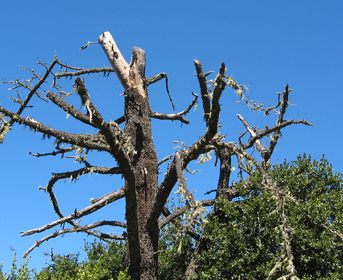
This snag looks cool from many angles.
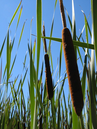
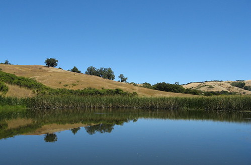
Cattails at the edge of Alpine Pond.
Alpine Pond is picturesque, as usual.
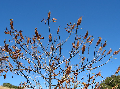
There’s a tunnel under Alpine to Russian Ridge Open Space Preserve, the next park along the way. I noticed a lot of trees turning to summer brown — these looked to be blooming pods that have gone to seed.
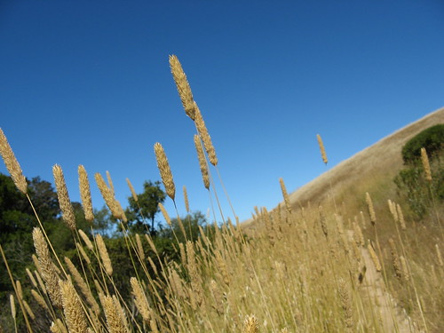
Stalks rising from the tall grass at Russian Ridge.
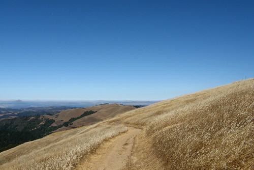
This is the golden glow I was talking about. California’s hills were all this color when I moved here, so I’ll always associate this shade as the proper color.
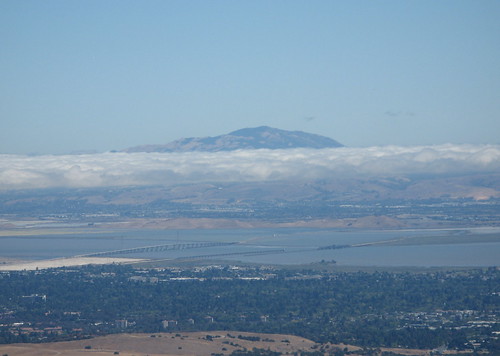
Mount Diablo far in the distance from the scenic overlook on Skyline Boulevard just south of the entrance to Coal Creek Open Space Preserve.
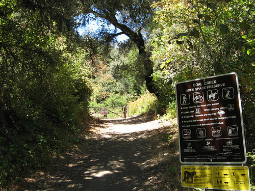
Hardy wildflowers soak up the afternoon sun at Coal Creek.
I saw no hikers at Coal Creek, only mountain bikers.
When you leave Coal Creek and pass into Monte Bello Open Space Preserve, you need to turn immediately to the left to head up toward the White Oak Trail. If you do as I did and miss your turn, you might get lucky and stumble upon a view of this pond, unnamed on the maps.
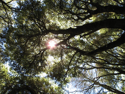
Shadiest part of the hike is along the White Oak Trail near the turn-off to the Stevens Creek Nature Trail. From here it’s a half-mile westward to Skyline Boulevard and the Skyline Ridge trailhead.
One thing to keep in mind on these trails: they get lots of mountain bikers. There’s usually plenty of room to get out of each other’s way, and to date I’ve never run into any of the obnoxious twits other people have complained about (I sometimes wonder if you make your own luck in these regards). Also, these trails do get hot in the summertime — the moist cool redwoods a few miles distant may as well be on another planet when you’re out there with no shade and the sun’s beating down on your shoulders.
Related links:
On Bay Area Hiker: Coal Creek | Skyline Ridge | Monte Bello | Russian Ridge.
My previous hikes: Skyline Ridge | Monte Bello



Nice pictures! I especially like the low angle shot of the cattails. Great shot! And except for the heat of the beating sun, it looks like you had a good day out hiking more trails I still have not been too. I did check off a bunch of trails going up to and down Mt. Tamalpais on Saturday though. Maybe if I learned to walk faster …
Mount Tam’s always worth doing … how were the crowds?
Tom, you’re photos are superb! Must be that new camera! (wink!)
Hi Tom, well, I did the hike up Mt Tam with the Stanford Outing Club and there were 13 of us so we made a small crowd right there. We started from Muir Woods and as expected, that place was overcrowded and I had to park on the road a good quarter mile from the last lot. Once we got up on the Bootjack trail though, the crowds all but disappeared. We ran into a handful of hikers here and there but largely had the trails to ourselves until we got to the East Peak parking area. There were a lot of people there, but then most of them drove up. I think that’s called cheating! 🙂
Great photos & a nice description of the region. That tree that’s drying out is the drought-deciduous California buckeye. Any day now we’ll be seeing the seeds they produce. They’re gorgeous in every season! Wanted to mention re: e viewpoint from which you photo’d Mount Diablo. Some of us locals (well 2 of us anyway) call that “Sierra Vista”. Look across Sunol Grade, just to left of Mission Peak, and you’ll see the Sierra. It’s low on the horizon so conditions must be clear, but it’s visible far more often than you might imagine. Easy to see in Winter when snow-capped. thanks for the great site & photos!