Summary of the price tag for Sunday’s jaunt to Angel Island State Park:
- Parking in Tiburon: $11
- Ferry to the island: $13
- Golden Gate Bridge toll: $5
- Five gallons of gas for 120-mile round trip: $16.25
(Note to self: find another fool to drive next time).
The story of California is that everything worth having costs major moolah to enjoy, whether it’s an abode that won’t embarrass your mother or a meal in one of the snooty restaurants in Fog City. A sign at the exit kiosk at Santa Cruz City Pier sums it up succinctly: “Have money ready.”
Angel Island explains why we keep shelling it out.
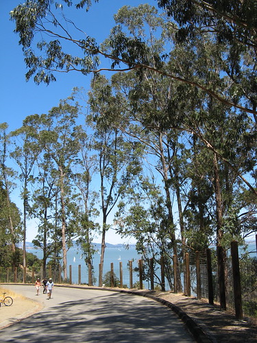
When you’re walking along an island in the San Francisco Bay under perfect blue skies, comforted by cool Pacific breezes, soaking up write-home-to-mom vistas every 20 yards, you start noticing how Angel Island State Park’s spectacular setting trumps everything: the so-so trails, the unremarkable flora and fauna, the tourist traffic on summer weekends. I did the five-mile Perimeter Road — all paved, with bicyclists, tour trams and screaming youngsters — and couldn’t stop thinking, “wow, this is a nice walk.”
I forgot about the ferry fee in about 15 minutes.
OK, let’s look at some pictures:
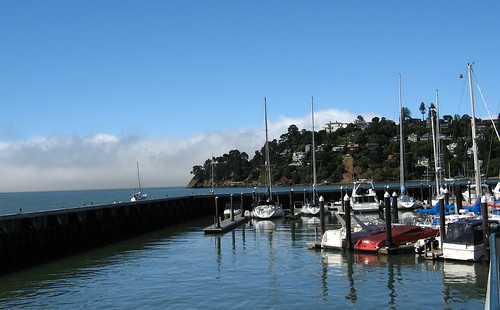
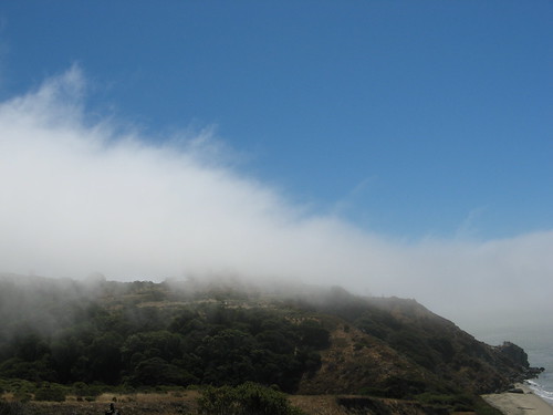
From the Tiburon Marina it’s clear it’s going to be an excellent day for outdoor photography. A fog bank stopped just at the edge of San Francisco side of the island and ran west beyond the Golden Gate Bridge. I love clearing fog because it produces cool images without obliging me to fiddle with camera settings (I have to save my strength for the hiking, you see).
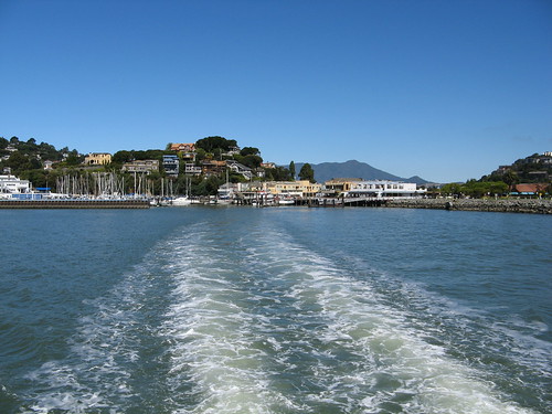
The ferry’s wake on the way from Tiburon to Angel Island.
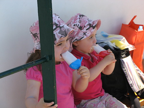
Clever parents figure out how to keep youngsters happy on the ferry ride over: frozen yogurt pops!
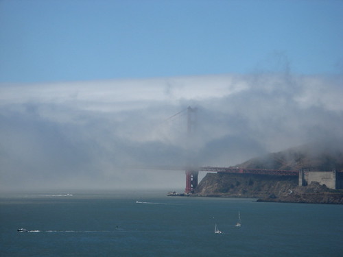
The fog bank hangs over Sausalito. Several trophy wives had to retreat to tanning parlors in disgust.
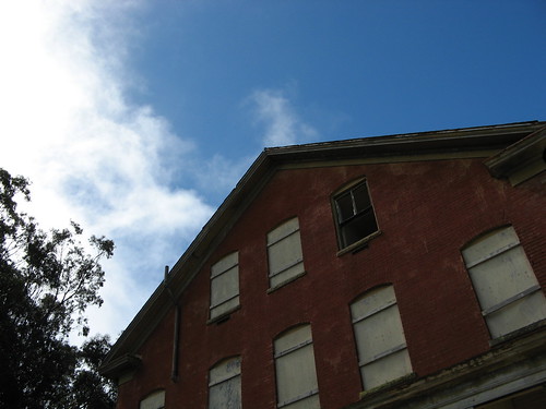
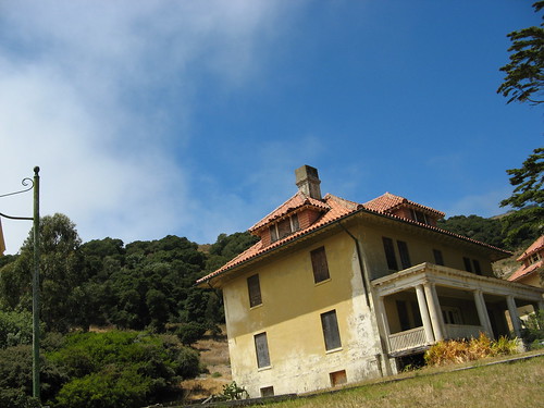
OK, so I’m on the island, and I’m not totally keen to start out on the most popular hiking loop — North Ridge Trail to Sunset Trail and back to the ferry stop — for the third time in a row, so I just set out on the Perimeter Road to see what I’ve missed on previous outings. Mostly, it’s old buildings like this one left over from when Angel Island was a military base (it also has an old immigration station that’s closed for renovation till next year). Not far from this building, there’s a single-track trail that heads over near the west edge of the island. It seemed lightly traveled.
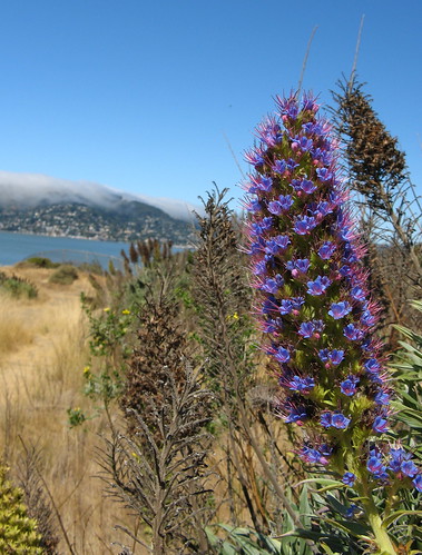
I did see these flowers in bloom along the way. I suspect they’re not native flora.
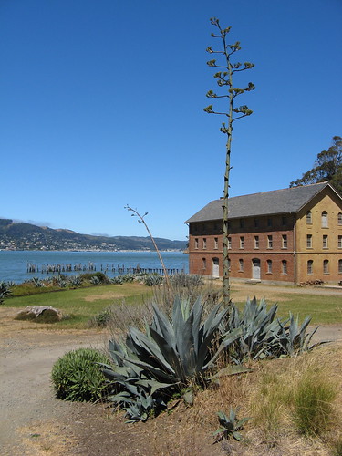
That’s an old Army barracks at Camp Reynolds.
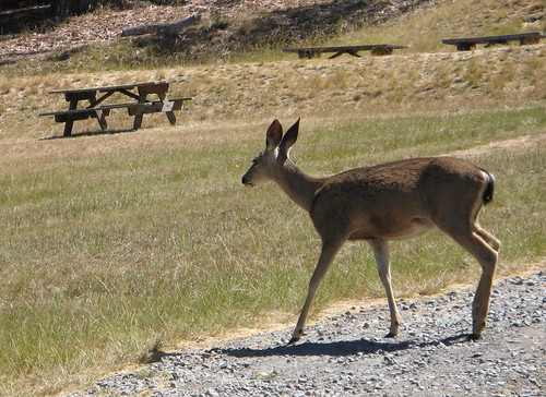
OK, so it’s not totally devoid of wildlife, though this deer seemed hardly alarmed to have me wandering around. (Note to self: if bodily aroma isn’t scaring deer away, certain hygiene corrections may be in order).
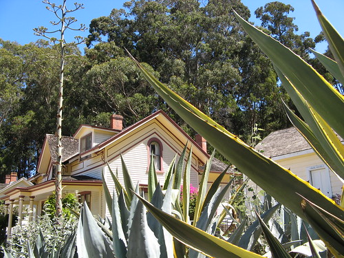
Plants decorate the area outside an old officer’s home that’s been renovated.
Along the road on the south side of the island, fog banks like this one kept things cool.
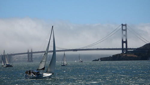
I don’t really care how many pictures of the Golden Gate Bridge I post. There will always be fresh angles to photograph it from (one consequence of it being so stupendously huge).
The east side of the island is back in the sun, where these tourists on Segways were trying their best not to look ridiculous on these things, and, alas, failing.
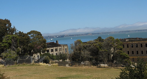
On the east side of the island, a bunch of old brick barracks for Fort McDowell’s enlisted men are slowly corroding in the salt air.
The haunts of the officer class aren’t looking all that healthy either, come to think of it.
This is most of the way around the Perimeter Road, perhaps a half-mile from the ferry stop. Not far from here is a North Ridge Trail spur that heads up to the summit of Mount Livermore. I decided what the heck and dashed up the hill to check out the view up there.
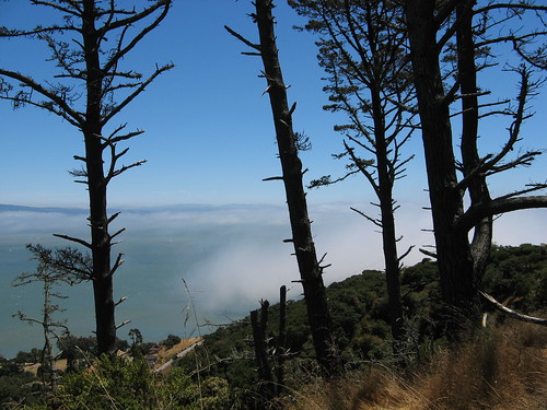
The view through these trees is always photogenic … I come home with a shot from here every time I go to Angel Island.
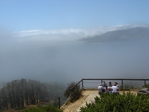
Hikers pause for a snack at the Mount Livermore summit (a whopping 788 feet of climb!). The view did not disappoint, though the pictures I took did. Tips of San Francisco’s two tallest buildings poked up above the fog, and on the way back down, Alcatraz Island was visible just under the cloud level. The pictures were mostly a blur.
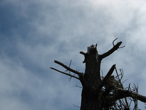
Coming back down via the Sunset Trail, I saw this snag sitting for its portrait.
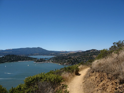
Here’s one for the post cards: that’s Mount Tamalpais far in the distance. From here I dashed down the trail and made it to the ferry stop just in time for the 2:20 p.m. run back to Tiburon.
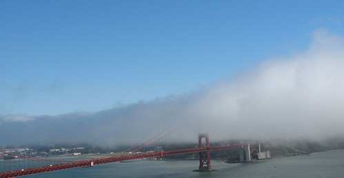
OK, remember what I said about the Golden Gate Bridge? Well, you’re gonna have to suffer a few more shots (shouldn’t be too painful).
Looking west, toward the Pacific Ocean.
Looking east, from the Marin Headlands.
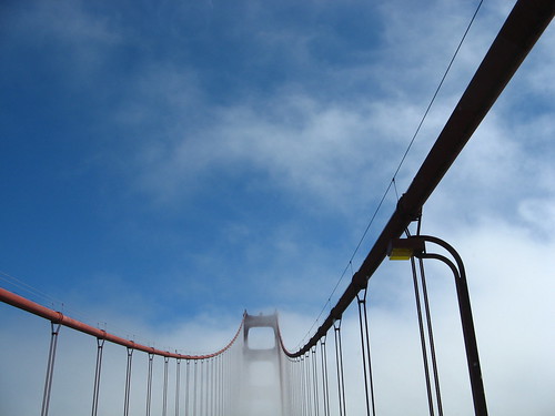
Looking straight out the Hiker Hauler’s front windshield toward the South Tower.
Some handy Angel Island links:
My previous Angel Island hikes.
BAHiker’s Angel Island Page.



I don’t know if it’s the development of the island or the amount of people visiting at any given time, but Angel Island is a jewel even the most wilderness – driven can enjoy.
We usually go in winter, when the temps are warmer than they are in Livermore. Count on a breeze or two, but that perimeter hike offers so much in the way of postcard views, from almost every direction. Being able to take BART from Dublin, then taking the SF Ferry makes for a fun day. I want to go on a rainy day sometime, if we ever get rain again…
You have some really nice pictures here Tom. And like so many other parks in the Bay Area, I still have not hiked Angel Island. One of these weekends though!