I covered a slice of Pescadero Creek a couple weeks ago but I knew I’d have to come back. The park delights my inner wannabe social historian — mercilessly logged by previous generations, now hiked by few who realize how remarkable the turnaround has become. Most of the second-growth forests in the Santa Cruz Mountains have been parks so long that it’s hard to tell they stand on former industrial sites.
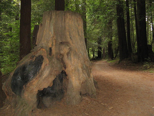
Not so at Pescadero Creek, which is populated with massive stump after massive stump, many right next to the trails. And yet it’s also populated with grove after grove of spindly young redwoods busily putting a forest back on these hills. Many are right next to each other (and many grow out of the stumps, which is why it’s so hard to kill off a redwood forest).
You can’t walk out of these woods a pessimist about our species’ capacity to clean up its messes and learn from past mistakes. The injury and recovery are steps apart.
Mind you, Pescadero Creek is mostly trails. No facilities at the trailheads (not even any maps to guide your way, though there is one big map at a trail board near the Hoffman Creek Trailhead, which is, incidentally, the best place to start out from; the Tarwater Trailhead is just too far out of the way. I’ve posted a map at the bottom).
So, about Sunday’s hike: I did a 12-mile traverse loop starting out from the Hoffman Creek trailhead. Route: Old Haul Road > Pomponio Trail > Brook Trail > Bear Ridge Trail > Canyon Trail > Tarwater Trail > Pomponio Trail > Shaw Flat Trail > Old Haul Road.
Lots of pictures this week, let’s get to ’em:
One of the giant stumps along the Old Haul Road. It’s just an old logging road, still paved, but if you’ve only got a mile or two in you, wandering up and down the Haul is a pleasant stroll.
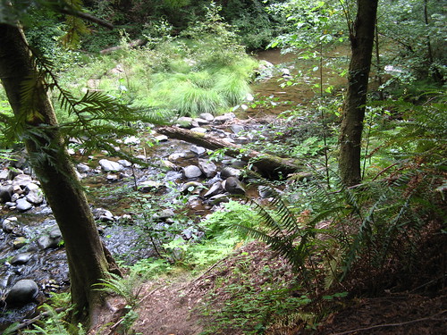
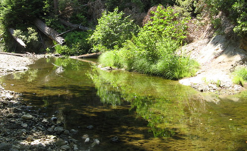
The turnoff to Pomponio Trail is about .8 mile. Before long there’s a crossing at the Pescadero Creek, which runs all year.
Water’s low enough now to tiptoe across some old logs, but if you try this crossing in spring or winter you’ll probably have to wade across.
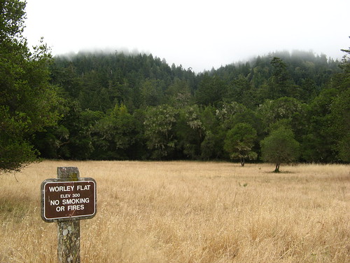
There’s a pleasant meadow at Worley Flat, no doubt the site of a former homestead. My hike topped out at about 1,300 feet, so the climbing wasn’t all that terrible.
Few wildflowers remain after the Fourth of July. These look like fiddlenecks. (They are sticky monkey flowers).
I did have one notable diversion not far from here: There’s a split in the Pomponio Trail where an old logging road disappears up the hill while the single-track trail obviously continues nearby. I got it into my head there must be something interesting up the old logging road, so I walked and walked and walked, uphill the whole way, on this unmarked trail.
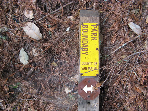
Saw an excellent “fairy ring” grove of redwoods, noticed two deer grazing together — a doe and a buck, which had a big chunk of its antlers missing. I kept thinking the trail must come out somewhere, till I saw this:
I walked on a bit more but started getting a little worried about having strayed beyond the park’s boundaries. I turned back when a split in the trail fairly screamed “this is how idiots get lost.” It added about three miles that were among the best of the day.
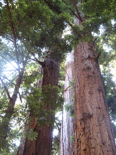
Some of the aforementioned redwoods in the fairy ring. The two deer were back where I’d seen them before … must’ve been some good grazing around there.
Once I got back on track, I headed over to the next turn at the Brook Trail, one of the nicest paths through the park.
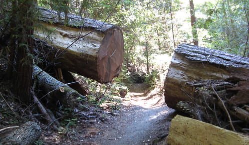
This cutaway had me envisioning Indiana Jones trying to run through while the gap was opening and closing every three seconds as he fled enraged, poison-dart-shooting forest dwellers.
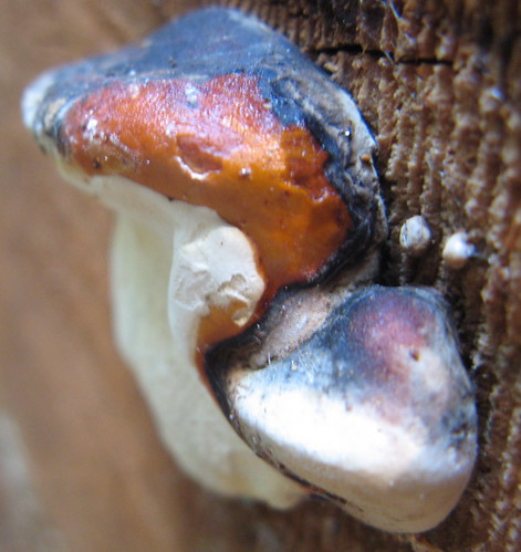
Can’t help taking a picture of colorful s.
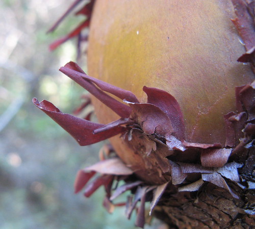
Peeling madrone bark is always photogenic.
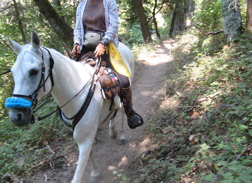
Egads, the Headless Horsewoman!
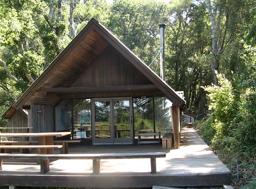
I followed the signs to the Sierra Club Hikers Hut at Sam McDonald County Park. It’s kind of a disappointment if you can’t walk in, cook yourself some dinner and sip wine by the fireplace.
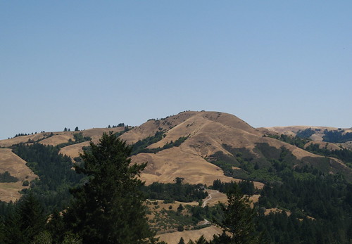
The views nearby are spectacular.
From the Hut I headed back downhill to the Bear Ridge Trail, which I took to the Canyon Trail, which is the most fascinating path in the park because of its mix of old and new redwoods.
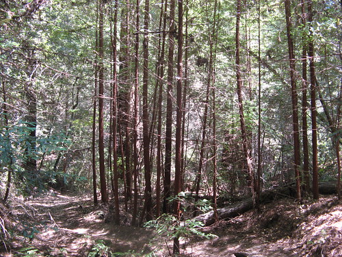
These are some of the young ones. They grow like crazy if the climate’s right and people leave them alone.
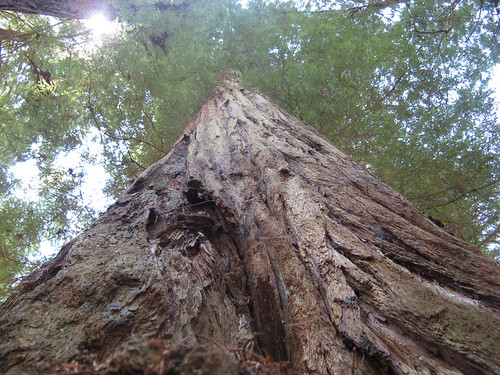
One of the old ones. Must’ve been too far from the nearest road to cut down profitably. Only a few of these amazing giants remain — just enough to reward the effort of hiking deep into the woods.
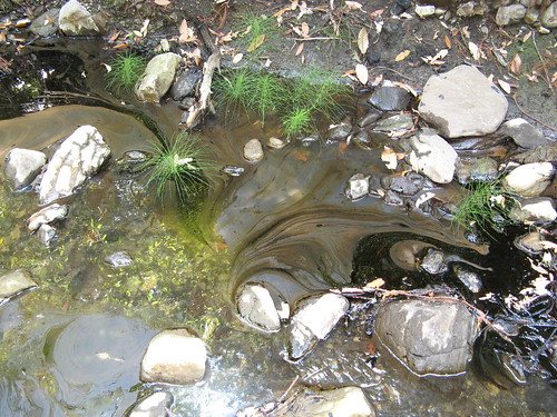
Interesting geological happening: oil seeping into a creek, aptly dubbed Tarwater. The Tarwater Loop is probably the second-best hike at Pescadero, after the Canyon Trail.
On the return half of the loop I stopped by the Shaw Flat Trail Camp — the sites I saw looked cramped and ill-suited to tent pitching, though there may be better ones. Also, it’s a very long walk to get water at the Pescadero Creek.
Speaking of the creek, here’s my second crossing of the day.
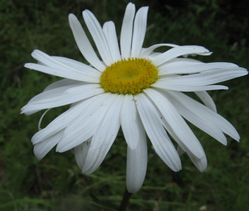
I saw this flower growing on the Old Haul Road near the end of my hike.
So that’s about it. I never made it to the Butano Ridge Loop, which looks like a nice leg-burner over 10 miles to about 2,200 feet. Lots of hiking to be had in Pescadero Creek.
Pescadero Creek links:
- My first hike at Pescadero.
- Random Curiosity’s Pescadero hike.
- A weekly Walker hike at Pescadero.
- San Mateo County Parks page.
- County parks map. (free PDF)
- Virtual Parks shaded relief map. ($1 to download; worth every penny).
- Redwood Hikes Pescadero Creek hike.
- Mondo map of trails in Pescadero, Portola, Memorial and Sam McDonald parks. ($6.95, from Redwood Hikes, above)
- Kevin Gong’s hike.
Here’s a Google map for the Hoffman Creek trailhead:

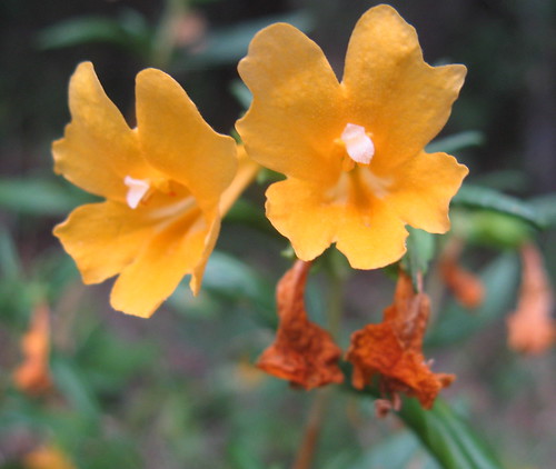
The orange flowers are sticky monkeyflower.
I think I will recommend this hike to my meetup!
Thanks to your initial recommendation, we visited the park this past Friday. We actually did an abbreviated version of your Sunday hike from Hoffman Creek. The park is definitely a must-hike. I’m eager to explore more of it; maybe this weekend.
Jane: Thanks for the correction.
David: I meant to add a link to your hike, thanks for the reminder.
Since you’re a strong hiker, you oughta try the Butano Ridge Loop; it’s 1800 feet up to the ridge.
BC: They’ll appreciate it for sure: I saw maybe a dozen hikers in seven hours over 15 miles. It’s pretty quiet there, especially this time of year. Also, the Hoffman Creek trail head is easier to find/get to despite being a few more miles away than the Tarwater Trailhead. You don’t have to thread your way up Page Mill and Alpine roads. It’s only about an extra 5 minutes of driving to Hoffman Creek.