Summertime’s upon us in Silicon Valley and I’ve finally gotten it into my head that it’s not necessary to spend every weekend sweating through dusty trails on hills that have gone from green to brown. Along the Santa Cruz Mountains nearest the Pacific Ocean, everything’s green as all get out — heck, there’s even mud on the trails in a few parks.
One such park is Purisima Creek Redwoods Open Space Preserve, a few thousand acres of second-growth redwood forest that is one of the coolest hiking locales in these parts, temperature-wise and vibe-wise. It’s on Highway 35, Skyline Boulevard, west of San Mateo, a bit of a haul from San Jose at over 30 miles, but worth the drive.
I’m writing about the park in a future column for the paper, so I’ve been there on consecutive Saturdays to make sure I kinda/sorta know what I’m writing about. On the Saturday before last, Vindu at work asked me along on a group hike he was leading from one of the lesser-known trailheads into some of the lesser-trod sections of the park. Yesterday I hiked about 14 miles in a rough triangle from three of the better-known trailheads. Might as well let the pictures do some of the talking:
May 26:
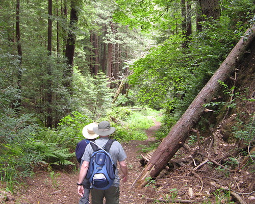
Starting from the Tunitas Creek Road trailhead, we dive down the Grabtown Gulch Trail — which is mucho steep, but much better to go down than come up, Vindu assures us.
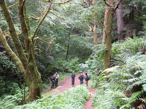
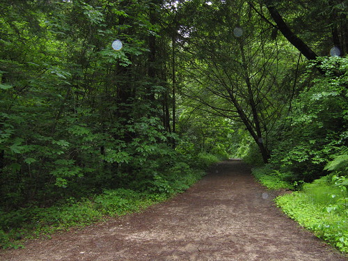
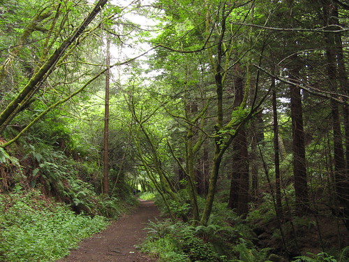
After a couple miles we rest at the Purisima Creek Trail, a wide, easy path through the woods tracking along the creek of the same name. This is probably one of the nicest stretches of multi-use trail in the region — easy incline, soft path from the many seasons of pine needles, sound of creek burbling nearby, gorgeous redwoods and every other species filling the woods. We hiked westward a little ways and headed back up to the ridge on another trail, then turned right on the Bald Knob Trail, and headed back down again.
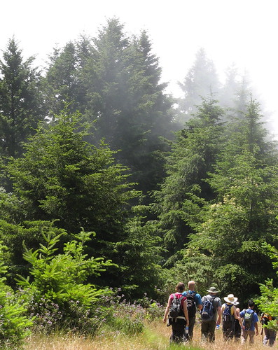
From here you can see a bit of the fog burning off, but in general the coastline was shrouded in mist. In the winter it’s positively stunning up here because you can see all the way to the ocean and coastline around Half Moon Bay.
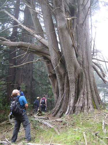
We stopped for lunch near this tangled old tree.
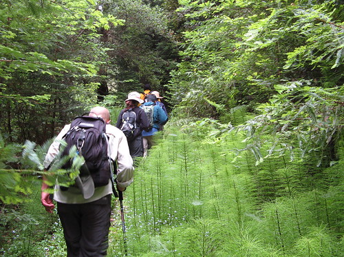
After lunch we made our way to the Lobitos Creek Trail, one of the most remote and overgrown sections of the park. Fine place to go when somebody else, who know where he’s going, is leading the way.
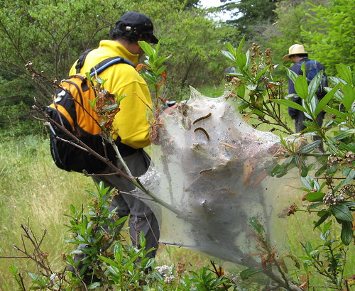
A nifty nest of caterpillars along the trail.
If you ever take it upon yourself to seek out this corner of the park, take note of how much downhill hiking you’re doing along the way. It’s a long uphill slog back to the trailhead.
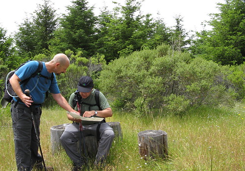
Chris and Vindu retrace our steps on the map. We hiked around 14 miles when all was said and done.
June 2
Purisima has two trailheads on Skyline Boulevard and the third mentioned above, all of which create a less-than-ideal scenario: starting out heading downhill and doing the hardest, uphill part last. It’s much more fun to start out climbing with fresh legs. On Vindu’s hike, we went down to the creek, regained all that elevation and and headed a few miles down the hill again and turned back. Slog city. (But if slog you must, it might as well be at Purisima, where the scenery’s an excellent pain-killer).
Chris, the guy with the map above, told me he much prefers to hike up from the Higgins-Purisima Road trailhead, which requires driving to Half Moon Bay and wending up a twisty road for over four miles and parking in a little lot with room for fewer than 10 cars. I took his advice yesterday and have to back him up: It’s the best place to start a hike at Purisima. The lack of parking requires an early start but heck, I always start early anyway.
Purisima Creek Trail, looking eastward from the Higgins-Purisima Road trailhead. It goes for a little over 4 miles, tracking along the creek most of the way, and getting steeper as it nears Skyline Boulevard at the Redwood Trailhead. The depth of green defies description.
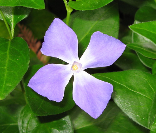
A wild periwinkle along the way.
Banana slug in transit. Note the little antennae over at the right: normally these will retract when somebody comes by, but if you stop and watch for moment they come back out again.
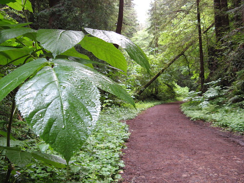
It’s very wet down here with condensation from the sea breezes. In some areas it feels like it’s raining from the breeze blowing water droplets down from the trees.
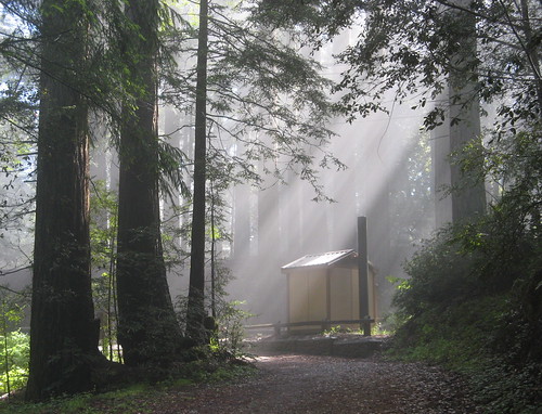
I hiked the full length of the Purisima Creek Trail up the ridge to Skyline Boulevard. This is the privy at the Redwood Trail entrance, which has somewhat scant parking. There’s an easy trail nearby called Redwood Trail that has picnic tables and towering tree canopy, but it’s a bit too close to the highway so you get a certain amount of motor-psycho noise. Too bad, because otherwise it’s a gorgeous setting.
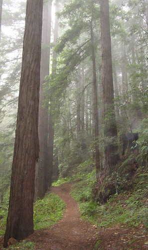
I doubled back for couple miles and turned right onto the Soda Gulch Trail, which is one of the nicest stretches of trail in the Santa Cruz Mountains. It’s a single-track, hiker-only path through an amazing bit of new redwood forest. This whole area was clear-cut and all these tall, skinny redwoods have grown back in the last hundred years. There’s a real cathedral-of-the-pines effect at the start of the trail — I sneezed once and it echoed down the trail almost as if I were indoors. Neither pictures, video nor first-person account of the place can do justice to it. You hike to find places like this.
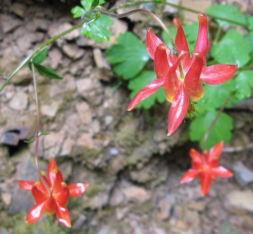
It’s been a good year for columbines — I saw quite a few along the Soda Gulch Trail.
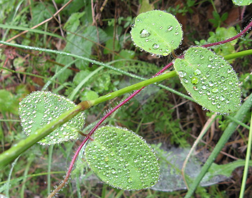
More moisture on leaves — my new camera’s image-stabilization lets the macro function do its job pretty well, even without a tripod.
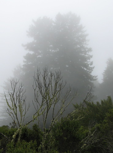
After a couple miles the Soda Gulch Trail exits redwood forest and enters manzanita scrub that’s familiar along all the hills in the Bay Area. On a foggy day like this one, the pines seem ghostly in the distance.
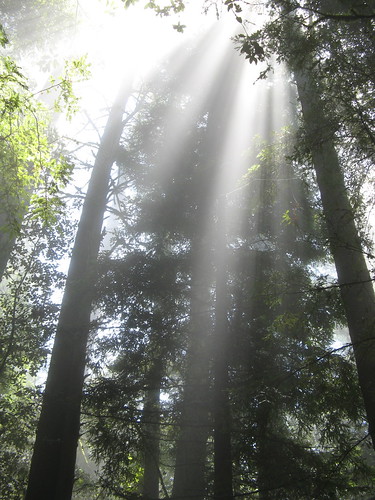
This seems to be a great time of year for sun-through-the-fog pictures at Purisima near all the high-elevation trailheads. This is near the North Ridge Trail parking lot, the biggest lot in the park (parking’s free). When I hiked to the top it was a typical California sunny day but as soon as I headed back down the trail, it was back into the fog.
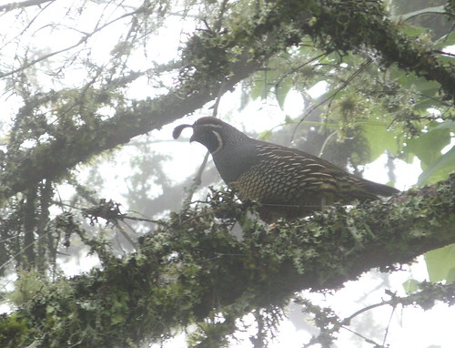
I rounded one bend of trail and heard this strange cooing sound. Looked behind me and saw this quail on a branch, trying to make up its mind whether to flee or not. It did a moment later.
Last turn of the day is down the Whittemore Gulch Trail, which tracks along more manzanita scrub for awhile but heads back into the redwoods before too long. Total mileage: about 14.
One more great thing about Purisima: the trails all have a bed of pine needles that makes for soft walking most of the way, which is way kind to tender feet. My feet made it through long hikes on consecutive weekends with hardly a peep of complaint.


Beautiful trees and mist…
You sure those are caterpillars and not a small hiker..?
DSD
“Summit Stones & Adventure Musings”
Real fine shots, Tom! I’m willing to bet, however, that you walked on fir needles at Purisima, since there are acres of Douglas firs but pine trees are kinda rare there.
I looked this one up: Douglas fir is a member of Pinaceae, the Pine family. Therefore, Douglas Fir needles are also pine needles.
So beautiful, Tom, as always.
Great photos, Tom. I’m glad you enjoyed the hike to the lesser-known side of Purisima.
Vindu
I love Purisima. I was just there the other week with the San Mateo Flickr group.
Excellent photos Tom.
Erik
Thanks for all the encouraging words … I normally expect to come away from these forest hikes with a bunch of underexposed green blobs, I seem to be having better luck w/the new camera. Optical image stabilization really works!
I’m curious to know what kind of camera you actually used. I’m thinking of getting a new one just for such hikes!
Thanks,
Susan
Susan: it was a basic Canon A710IS (there’s probably a newer model out now) … a point-and-shoot that runs on AA batteries.