Last weekend’s festivities in the wilds near Lake Shasta left me a bit glum at the prospect of finding new and interesting stuff to write about back in the in the comparatively mundane hills of the Bay Area. But then I remembered the adage of long-distance trekkers everywhere: Hike Your Own Hike. This is generally a handy rationalization for people who are either too fast or too slow to keep
pace with other members of their hiking group, but there is a grain of truth to it: your feet are the ones suffering all those miles, so you might as do it on your own terms, at your own pace, on a trail of your choosing. What it means for me this week is that I go back to one of my favorite haunts — the Ohlone Wilderness Trail — and you get more of the dead-tree pictures we’ve come to know and love.
I set off before sunrise for Del Valle Regional Park, trailhead of the 28-mile Ohlone Trail, of which I’ve hiked all but a five-mile stretch east of Rose Peak. The Ohlone Trail starts at Mission Peak on the west, goes east for eight miles to Sunol Regional Wilderness, then continues to Del Valle. Rose Peak, which tops out at around 3800 feet, is halfway between Del Valle and Sunol, leaving the fool in search of an ass-kicking 20-mile out-and-back a choice of two routes. I did the Sunol-to-Rose route a couple months back so I figured I’d try the Del Valle-to-Rose route yesterday.
The Sunol route requires 3,000 feet of climb spread pretty evenly over 10 miles. Grueling but not curse-the-fates cruel, like the Del Valle route. It requires 4,000 feet of climb in the first five miles, which destroys every shred of motivation to hike another 15. I ended up putting in about 14 miles, leaving a few miles of the trail unhiked. They’ll have to wait till my legs are stronger or I’m fleeing from the attendants trying to fetch me back to my warm room in the insane asylum.
Hiking from Del Valle has its prove-your-manly-ruggeness rewards, but it also provides that sense of being out there in the wilderness that I don’t get at many other trails with a neighboring population of several million humans. There’s always a strong breeze blowing across the ridges and nothing but hills and sky in every direction. Yeah, you suffer, and the hills make you wonderif it’s worth all the trouble. But the hilltops reaffirm the decision to hike on.
OK, let’s look at some pictures.
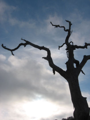
I had excellent clouds all day. The dead trees will be there for years to come but the clouds are never the same, and I never see them at the same time of day, so there’s always something snapshot-worthy happening.
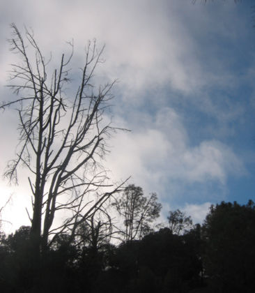
I think this is actually a live tree that has lost all its leaves. After about 10,000 pictures I’m finally starting to understand why these kinds of shots work:
The morning sun is low in the sky, giving the clouds a certain glow and provides a stark contrast to the nearby blue sky.
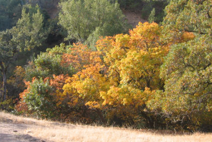
Our fall colors in the Bay Area are green and brown, but there are some exceptions.
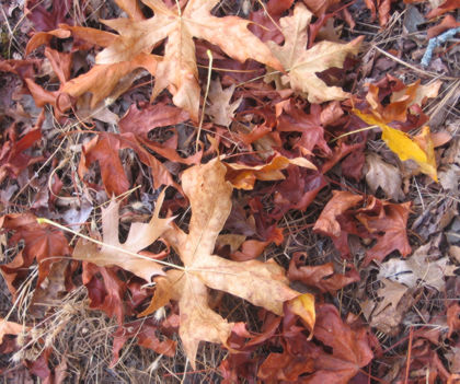
Lots o’ leaf litter along the trail.
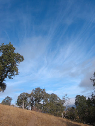
The breeze paintbrushes wisps of clouds across the sky.
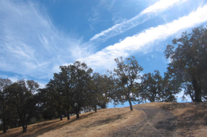
Sometimes the sun and the vapor trails create interesting imagery.
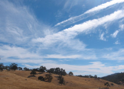
The same two vapor trails, from a different section of the trail.
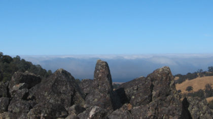
The trail has the occasional rock formation; the layer of clouds in the background is providing an overcast afternoon for all those suckers back there in civilization.
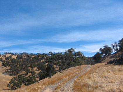
I was resting my feet, sitting next to a trail marker when I took this pic.
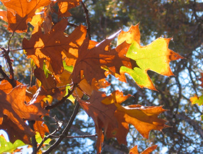
Another put-the-sun-to-work-for-you shot: The afternoon sun shining from behind these leaves gave them a nifty glow.
